This work goes directly in the context of the DeepCrop🛰️🌾🌽 and CopernicusLAC🛰️🇪🇺 projects.
Jul 25, 2025
We organized the TerraBytes workshop, on large scale datasets and models for earth observation
Jul 19, 2025
Tesista pagado sobre un tema interesante en un proyecto de investigacion grande!
Jan 1, 2025
En el contexto del proyecto fAIrefighter, como desarollar IA para combatir los incendios.
Jan 1, 2025
For the DeepCrop project, we are looking for a Machine Learning Research Engineer for Remote Sensing and Geographic data based in Santiago.
Dec 1, 2024
For the DeepCrop project, we are looking for a Data Engineer for Remote Sensing and Geographic data based in Santiago.
Dec 1, 2024
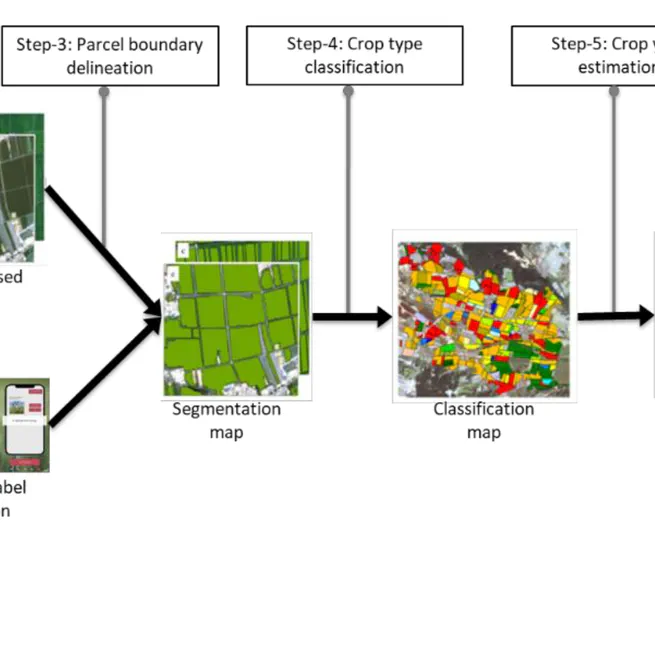
We are creating an AI system for nation-wide agricultural production monitoring based on crowd-sourced and remote-sensing.
Sep 30, 2024
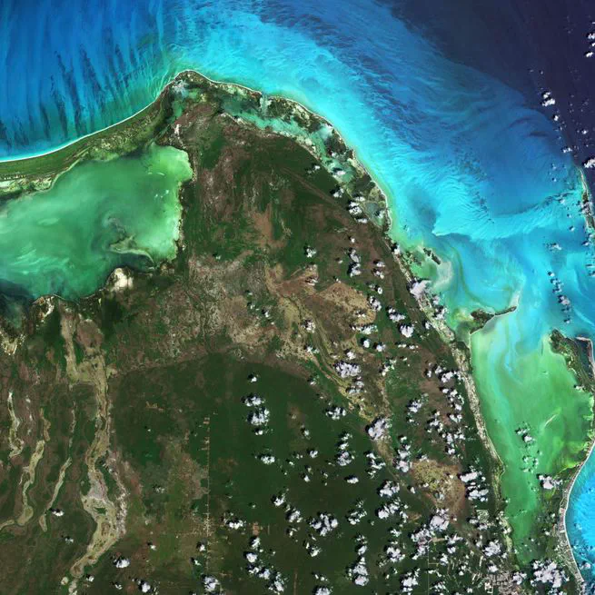
Our project is located in Santiago de Chile and operates as a centre dedicated to the storage, processing, and distribution of satellite data of the Copernicus Programme and the provision of services of regional interest for the benefit of all countries in Latin America and the Caribbean (LAC).
Sep 30, 2024
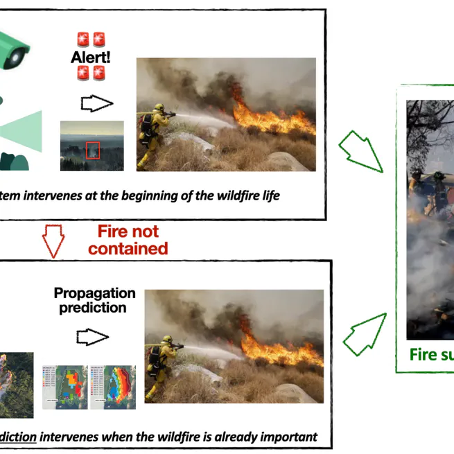
A wildfire early detection and spread prediction AI-driven decision support tool.
Jun 9, 2024
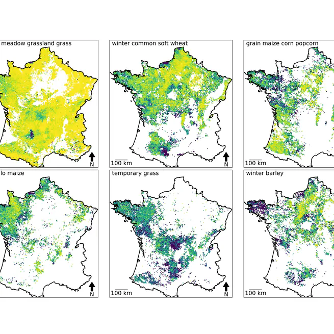
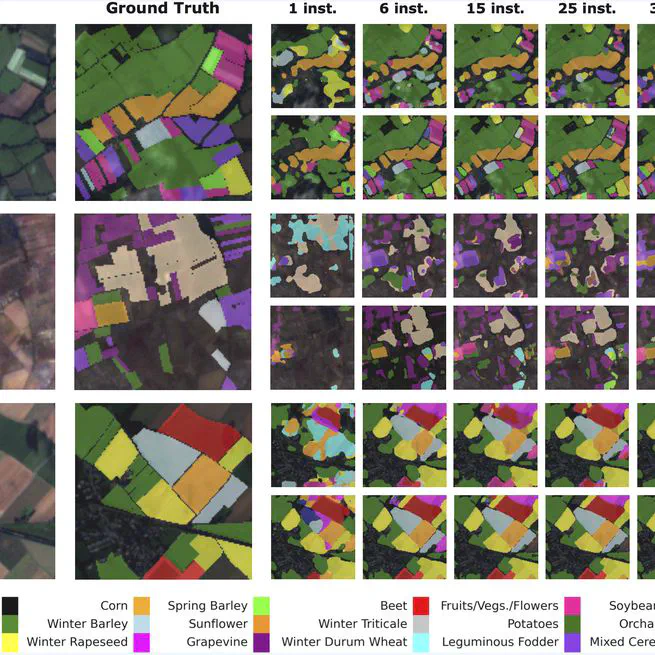
This is a new approach to classify crop types using a multimodal hierarchical model combinning satellite data, crop rotation patterns, and local crop distribution. It outperforms existing approaches by leveraging the spatio-temporal context of agricultural parcels, and has shown promising results in cross-country transferability and few-shot learning settings.
Apr 1, 2024