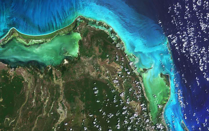
CopernicusLAC🛰️🇪🇺

Our project is located in Santiago de Chile and operates as a centre dedicated to the storage, processing, and distribution of satellite data of the Copernicus Programme and the provision of services of regional interest for the benefit of all countries in Latin America and the Caribbean (LAC).
My role
I act as Scientific Advisor and Researcher Artificial Intelligence for Earth Observation within the CopernicusLAC project, where I aim to be part of the team developing novel, large-scale, and generalizable vision models for remote sensing data processing.
The project
The Copernicus Regional Centre for Latin America and the Caribbean (CopernicusLAC Chile) is a project funded by the European Union and the University of Chile and implemented by the Center for Mathematical Modeling (CMM).
This project provides Copernicus data storage, processing, and distribution services for the region, as well as developing monitoring services in the areas of land use and land cover, urban areas and oceans and coasts, including the coordination of access to in situ data, i.e. data from land-based meteorological stations, ocean buoys and air quality monitoring networks, among others.
Our mission is to meet the region’s needs for the storage, processing, and distribution of advanced Earth observation data for both the specialist community and the public. Our commitment is to offer innovative solutions, promoting collaboration and open access to information to drive socio-economic and environmental progress in Latin America and the Caribbean.
Our vision is to be recognised as a leader in the Earth observation community for Latin America and the Caribbean. We seek to be a key source of information, contributing significantly to informed decision-making that transforms and promotes meaningful sustainable development for the region.
Copernicus EU
Copernicus is the European Earth observation system, which offers free and open access data and services through its network of Sentinel satellites, providing images of our planet with valuable information to be applied in areas such as agriculture, mining, urban planning, disaster management, environmental protection, among others.
The programme is coordinated and managed by the European Commission and implemented in collaboration with the Member States, the European Space Agency (ESA), the European Organisation for the Exploitation of Meteorological Satellites (Eumetsat), the European Centre for Medium-Range Weather Forecasts, EU agencies and Mercator Ocean, among others.
It uses vast amounts of global data from satellites and measurement systems on land, air and sea to provide information that helps service providers, public administrations and other international organisations to improve the quality of life of Europe’s citizens. The information services provided are freely and openly accessible to its users.
(Source and more information: Copernicus EU).